About Company
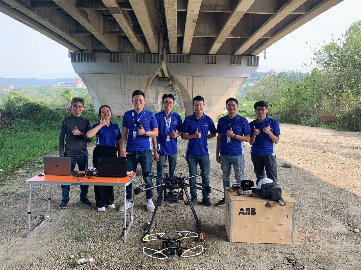
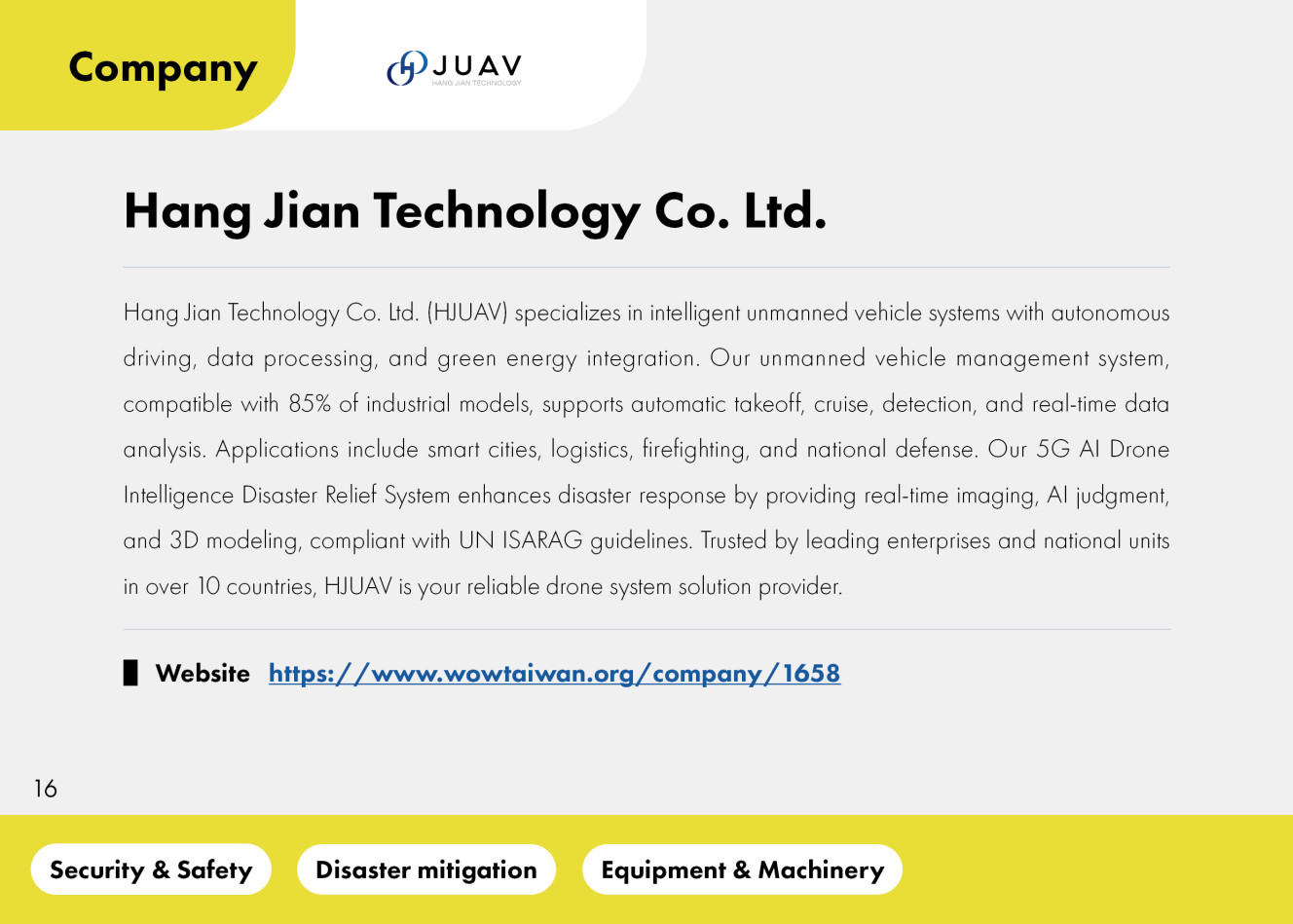
HJUAV is deeply committed to the multi-billion-dollar industrial application market, focusing on MIT manufacturing to create an intelligent unmanned vehicle system equipped with autonomous driving, data processing, and technological green energy.
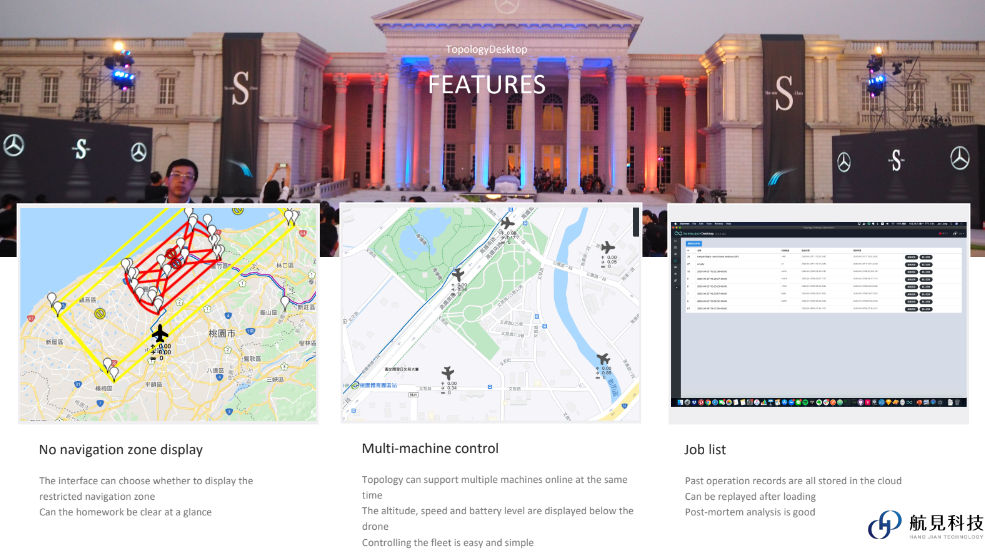
The company has independently developed and launched an unmanned vehicle management system compatible with 85% of the industrial models currently on the market, along with an autopilot system that integrates green energy models. This enables unmanned vehicles to realize automatic takeoff, automatic cruise, automatic detection, automatic return, and real-time data analysis. The products are applied in various fields including smart cities, logistics, firefighting, inspection, and national defense. Currently, they are in use in over 10 countries and have been adopted by many top-tier enterprises and national agencies. Aisino is undoubtedly a professional drone system solution company you can trust.
Product Name
5G AI Drone Intelligence Disaster Relief System
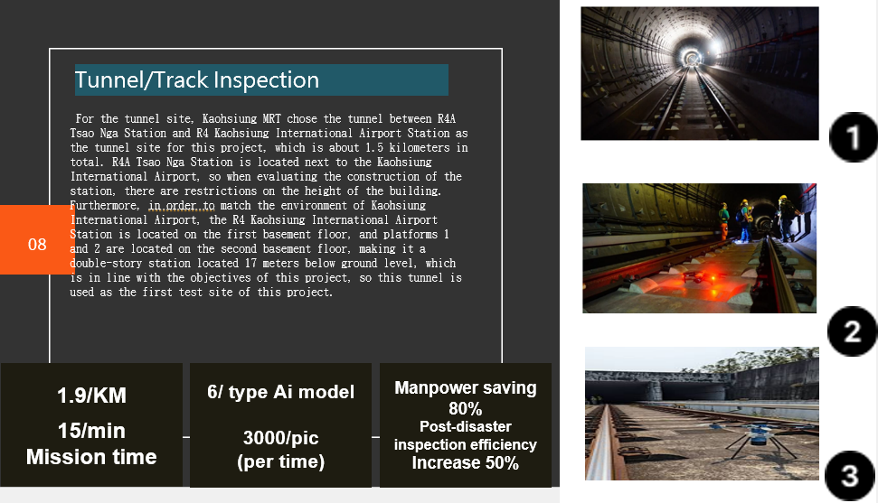
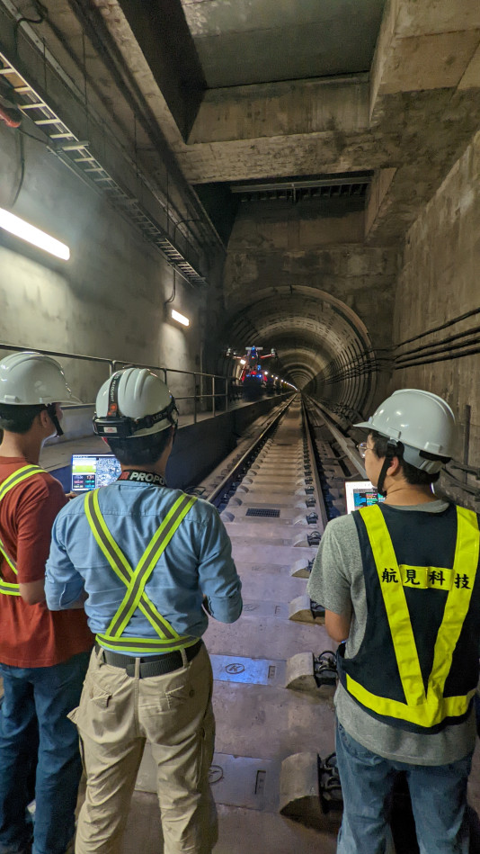
Intelligent Bridge/ Railway Drone Inspection System
Product Info
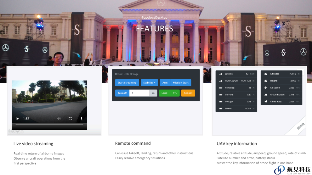
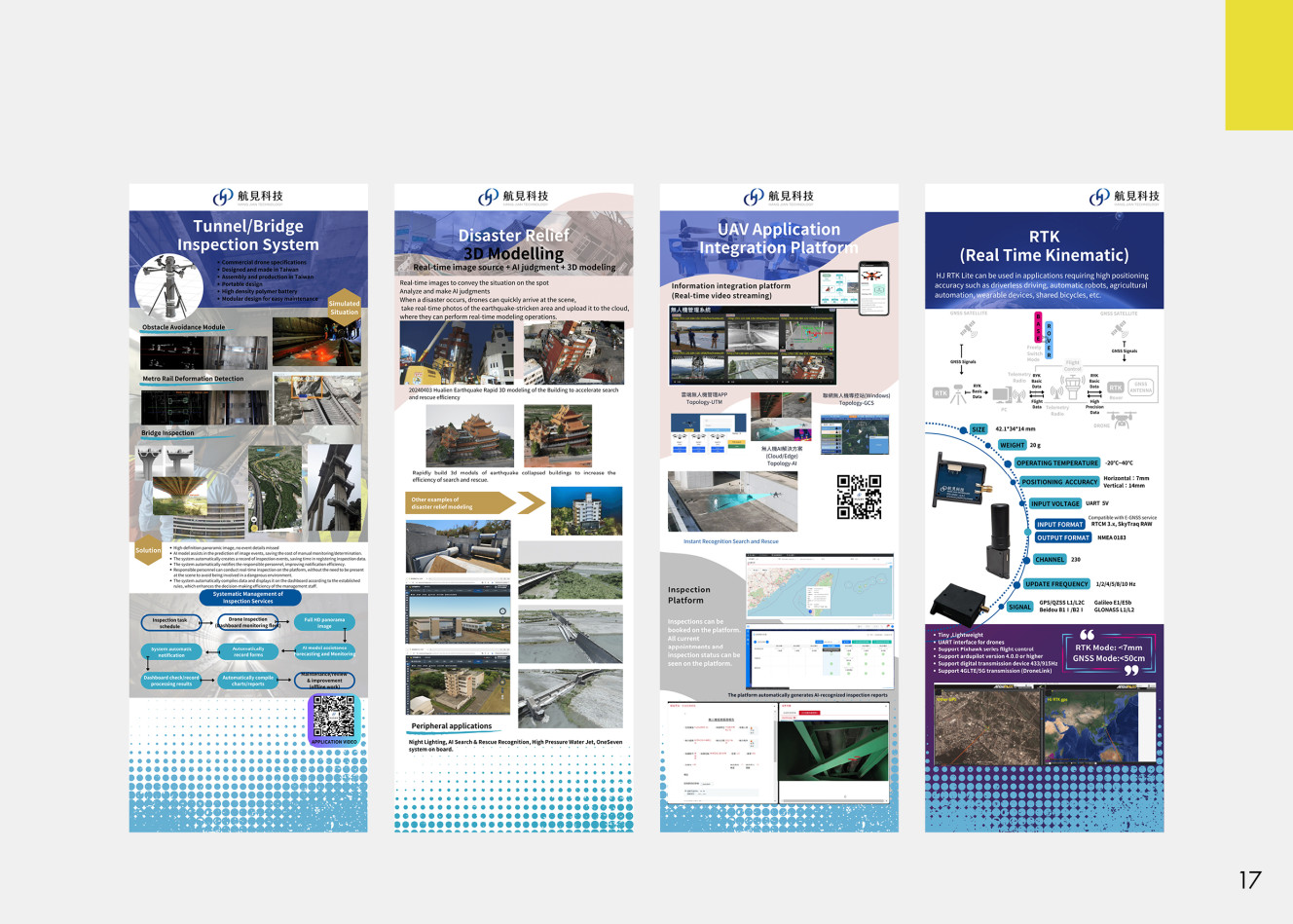
The 5G AI Drone Intelligence Disaster Relief System provided by HJUAV enables the drone to stream real-time images, integrate information quickly, and synchronize with fast-minute collaboration. The platform is compliant with the ISARAG International Search and Rescue Guidelines issued by the United Nations. Through 5G AI Drone Intelligence Disaster Relief System, it is possible to
1. Integrate other drone images + firefighter location video synchronization and collaboration.
2. Real-time image source + AI judgment + 3D modeling
3. On-scene commanders and county and city leaders in the operational command vehicle + disaster response center in different locations can share common images and posture training meetings, communication, exchange of information.
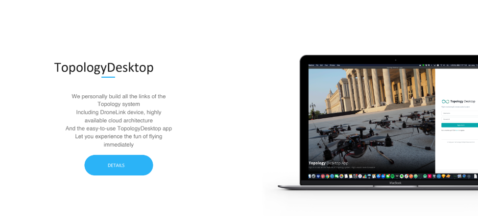
4. drone cloud management / disaster relief data storage disaster relief data management
5. Aerial images increase the efficiency of data decision-making and help data decision-making accuracy from multiple perspectives.
6. Enhance the connectivity of GPS maps and data, linking the time/space dimensions, and establish a learning path for disaster relief through mapping and spatial data analysis.
Product Solutions
The platform is compliant with the ISARAG International Search and Rescue Guidelines issued by the United Nations. Through 5G AI Drone Intelligence Disaster Relief System, it is possible to
1. Integrate other drone images + firefighter location video synchronization and collaboration.
2. Real-time image source + AI judgment + 3D modeling
3. On-scene commanders and county and city leaders in the operational command vehicle + disaster response center in different locations can share common images and posture training meetings, communication, exchange of information.
4. drone cloud management / disaster relief data storage disaster relief data management
5. Aerial images increase the efficiency of data decision-making and help data decision-making accuracy from multiple perspectives.
6. Enhance the connectivity of GPS maps and data, linking the time/space dimensions, and establish a learning path for disaster relief through mapping and spatial data analysis.
Get in touch directly with us.
+886-2-7756-1768
6F., No. 26, Sec. 3, Nanjing E. Rd., Zhongshan Dist., Taipei City 104103 , Taiwan
