About Company
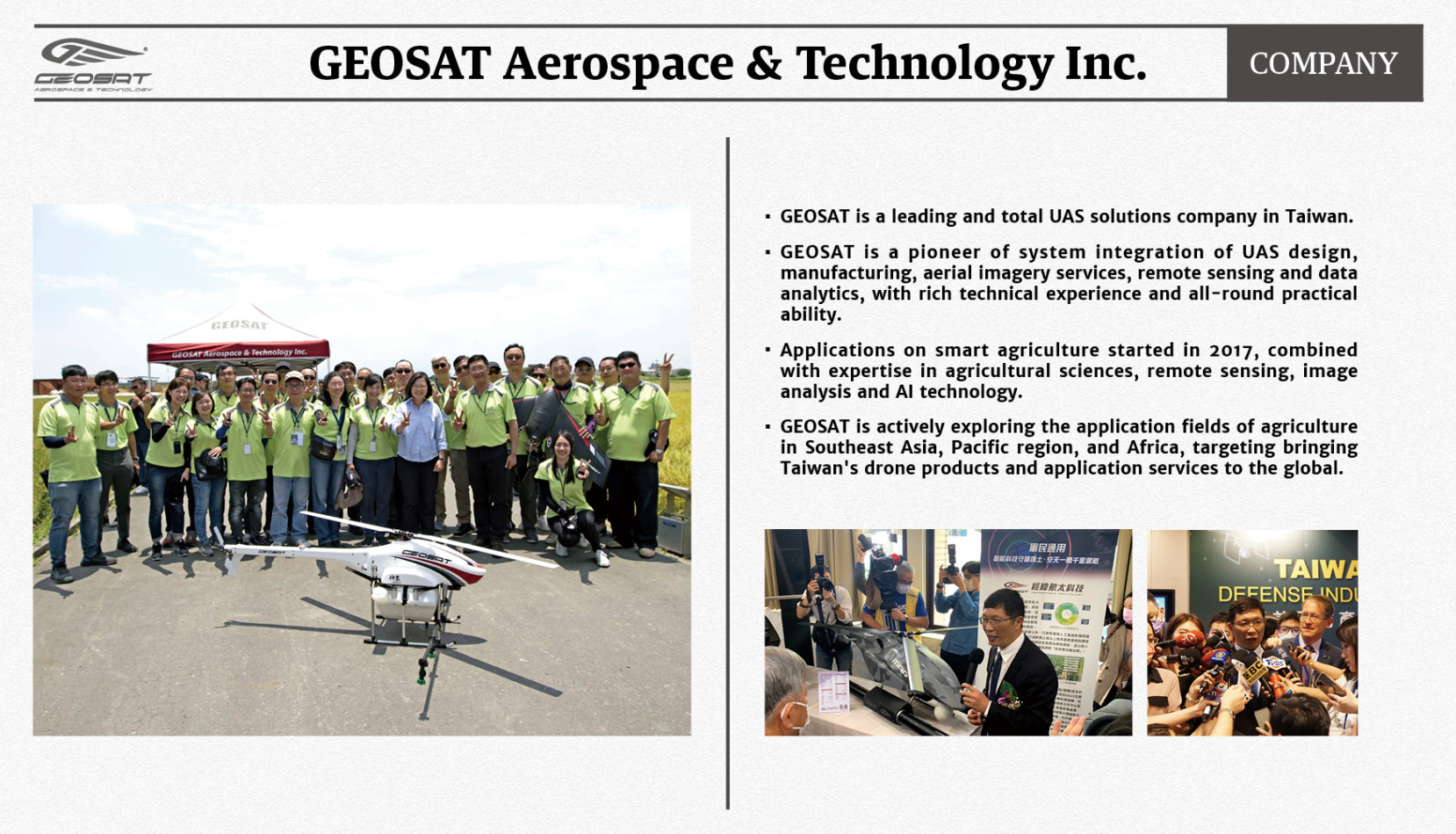
1. GEOSAT is a leading and total UAS solutions company in Taiwan.
2. GEOSAT is a pioneer of system integration of UAS design, manufacturing, aerial imagery services, remote sensing and data analytics, with rich technical experience and all-round practical ability.
3. Applications on smart agriculture started in 2017, combined with expertise in agricultural sciences, remote sensing, image analysis and AI technology.
4. GEOSAT provides customized services for crops in different growth stages, including crop count and sizing, crop health analysis, and specific disease and pest analysis and management.
5. We have applied our solutions in oil palm, rice, banana, durian, sugarcane, etc.
6. GEOSAT is actively exploring the application fields of agriculture in Southeast Asia, Pacific region, and Africa, targeting bringing our solutions to the global to make the agriculture more smart and sustainable.
Product Name
Product Info
1.Product Slogan:
Drone as a Service, Platform as a Service
2.Product Concept:
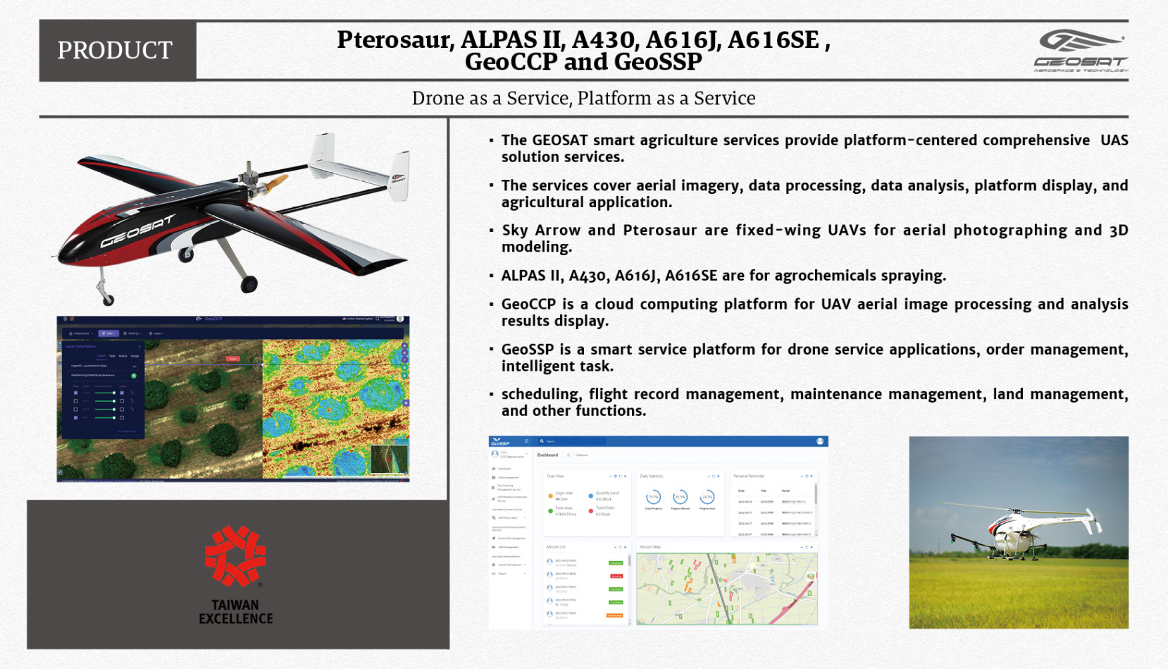
Selected Product: Pterosaur, ALPAS II, A430, A616J, A616SE, GeoCCP and GeoSSP
。The GEOSAT smart agriculture services provide platform-centered UAS total solution services.
。The services cover aerial imagery, data processing, data analysis, platform display, and agricultural application.
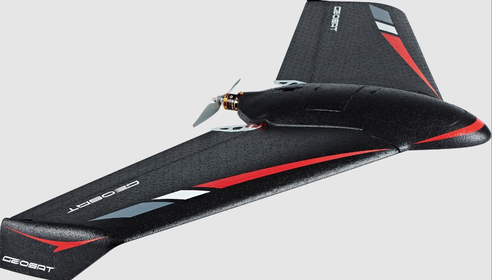
。Sky Arrow and Pterosaur are fixed-wing UAVs for aerial photographing and 3D modeling.
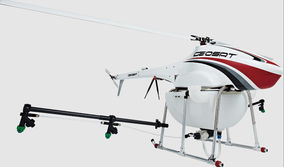
。ALPAS II, A430, A616J, A616SE are for agrochemicals spraying.
3.Product Technical:
。UAV mounted with different sensors can capture RGB and multispectral images.
。Image data can be processed into orthophoto on GeoCCP and analyzed with GIS and imagery software.
。Image data can be further analyzed through AI modules.
。Crop health, nutrient and other crop status can be analyzed through multispectral values and vegetation indices.
。Object targets in the fields can be automatically recognized by AI module.
。Data analytic results and orthophoto can be displayed on GeoCCP.
。Agricultural application services can be ordered on GeoSSP, including and spraying, fertilization, etc.
。Pesticides and fertilizers can be sprayed using GEOSAT drones specializing for agrochemicals spraying.
4.Product Solution:
。Corresponded and customized services can be developed for different crop growth stages to solve specific problems in crop growth and health and improve the efficiency and sustainability of crop production and agricultural management. 。Plant count and sizing: GEOSAT can fly drones to capture aerial images of farms and automatically recognize, count, and size the crops using AI. The service helps users identify and measure crops in the farm that are clearly separated, like banana and oil palm trees, and the growth size of crops can also be analyzed and graded. With the help of the service, it is more convenient to manage the assets, quantify plant loss, and know differential crop growth performance individually.
。Plant health analysis and disease management: plant health can be analyzed through multispectral data, and specific plant diseases and pests may be detected and identified by AI if possible. Users can have a whole picture of the crop health status in the farm and conduct further investigation on the causes of the plant stress. Disease or pest emergence can be monitored in the early stage, and corresponded control area can be decided based on the analysis. Agrochemical spraying can then be applied.
。Plant nutrient analysis and fertilization hot spot analysis: Plant nutrient status in the whole farm can be analyzed, and fertilization hot spot can be recommended for the regions with many crops of nutrient deficiency. Differential fertilization can be conducted based on the analysis to improve crop growth and quality precisely and save costs.
Product Solutions
Get in touch directly with us.
+886-2-7756-1768
6F., No. 26, Sec. 3, Nanjing E. Rd., Zhongshan Dist., Taipei City 104103 , Taiwan
